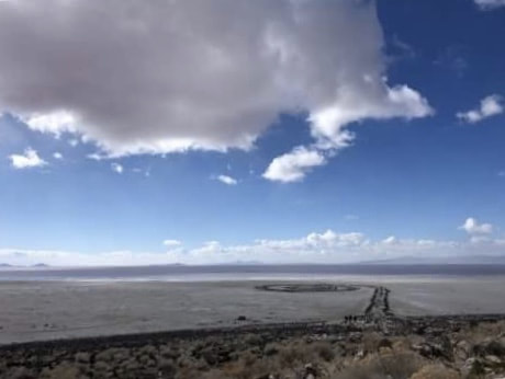
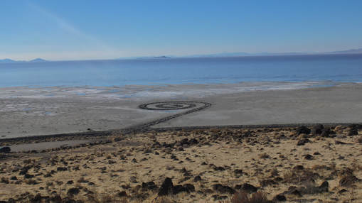
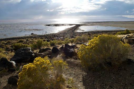
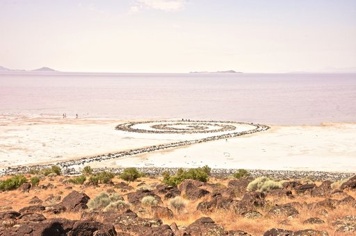
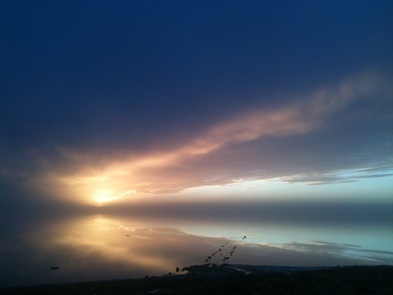
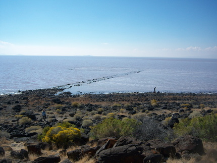
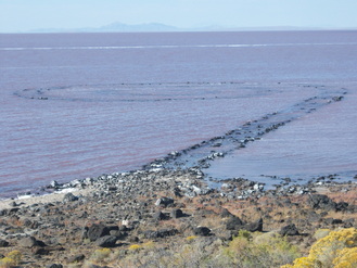
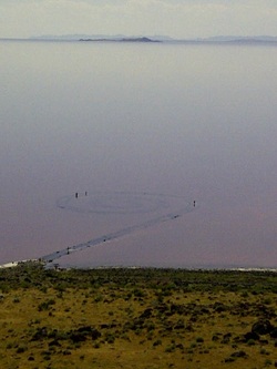
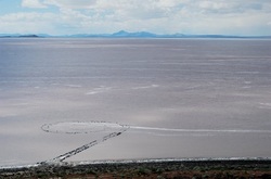
Spiral Jetty: Strata of Water, 2011-2021
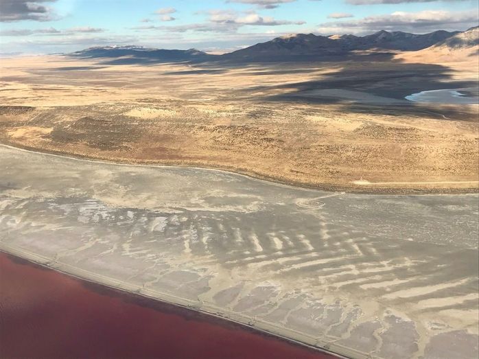
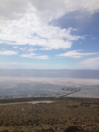
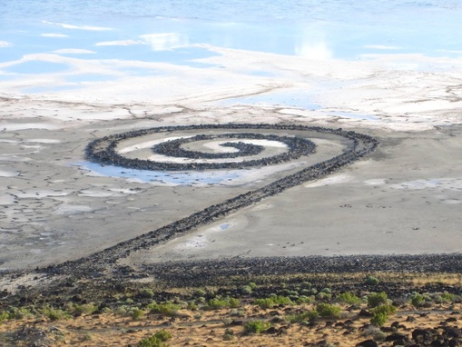
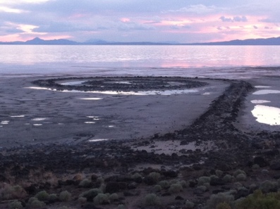
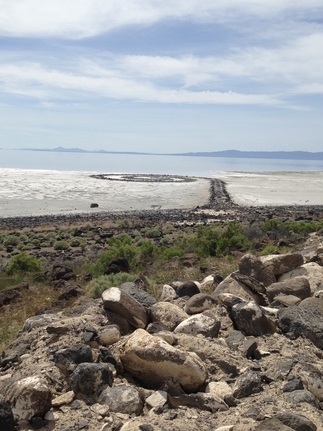
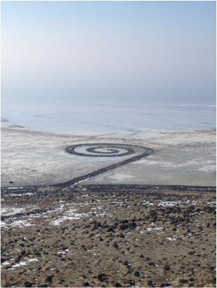
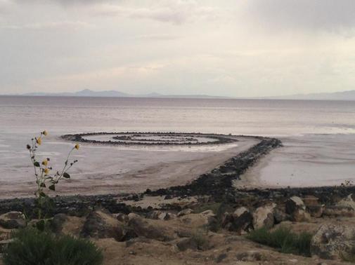
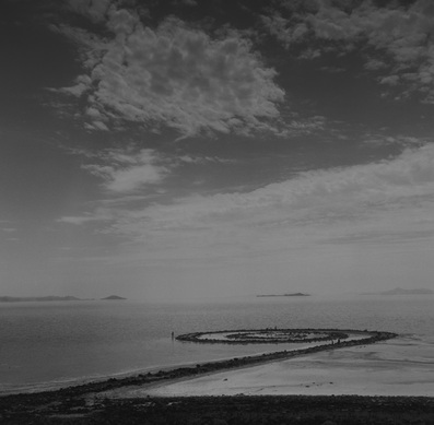
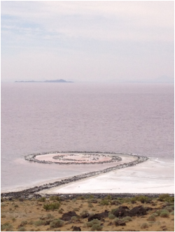
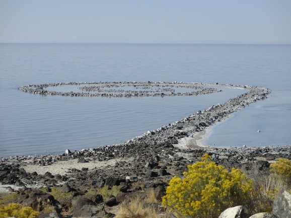
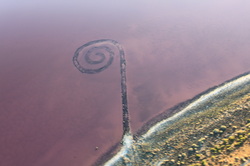
Created by the American artist Robert Smithson in April 1970, Spiral Jetty is located in a dynamic region of Great Salt Lake in northern Utah. Smithson's interest in the interplay between art and the natural environment has led to a work of art situated in a lake where the water level continually rises and falls. The Salt Lake Tribune created a video in 2013, Utah's Spiral Jetty, an artist's work on nature's canvas, which depicts the earthwork and its beautiful environment.
This page provides images of Spiral Jetty with corresponding lake levels: when created in 1970, Great Salt Lake's levels were 4195.15 feet above sea level. For an overview of Spiral Jetty and lake levels recorded each April from 1970-2010, see my article The Spiral Jetty: Strata of Water.
Robert Smithson, Spiral Jetty (1970)
Great Salt Lake, Utah
Mud, precipitated salt crystals, rocks, water
1,500 ft. (457.2 m) long and 15 ft. (4.6 m) wide
Collection of Dia Art Foundation
© Holt/Smithson Foundation and Dia Art Foundation, licensed ARS, New York
For current lake levels in the northern half of Great Salt Lake, see data provided by USGS for Great Salt Lake water levels.
For more information on Smithson and Spiral Jetty, see Dia Art Foundation and Holt/Smithson Foundation.
This inventory spans an eleven year period with a wide range of water levels that illustrate the earthwork's visibility. My thanks to the individual photographers whose images grace this site.
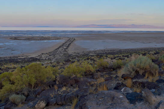
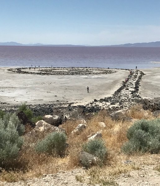
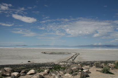
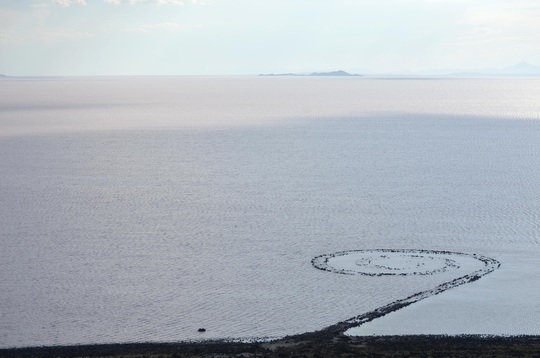
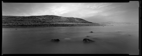
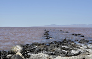
Spiral Jetty, photographed on September 14, 2014, by Tom Martinelli. Lake levels remain consistent at 4192.75 feet on this day. According to an article in The Washington Post ("Great Salt Lake approaches 167 year record low" 8/19): "Utah’s Great Salt Lake, which is the largest salt water lake in the western hemisphere, has been on a gradual decline over the past few years, and is now about two and a half feet away from its record low level of 4,191.35 feet. In 2014 alone, the lake has been losing around half a foot per month since May."
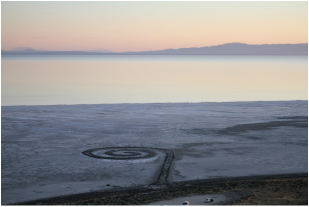
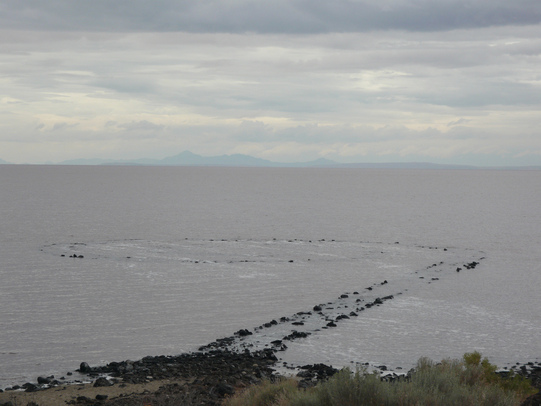
Spiral Jetty, photographed on September 9, 2014, by Robert Hatch. Lake levels continue to recede, reaching historic lows. Lake levels remained consistent at 4193.00 feet on this day.
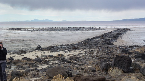
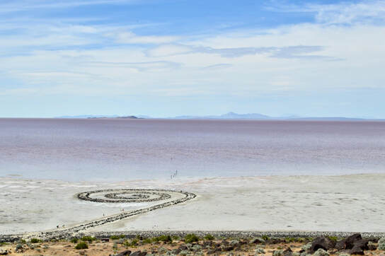
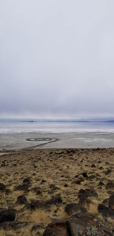
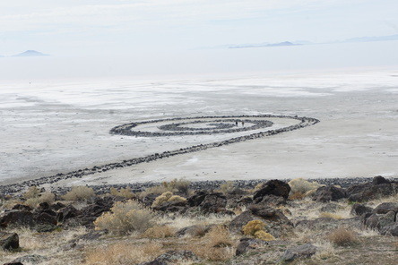
Spiral Jetty, photographed by Wendy Wischer, on February 25, 2014. Lake levels were consistent at 4194.00 ft on this day.
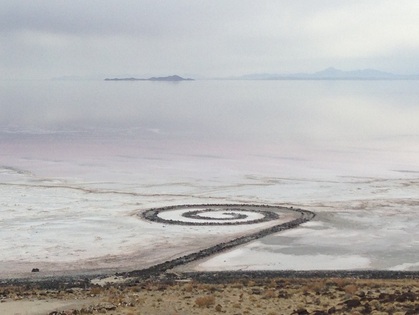
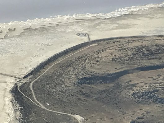
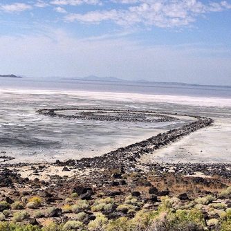
Spiral Jetty, photographed by Hikmet Sidney Loe, on November 20, 2013. Lake levels averaged 4194.00 ft on this day.
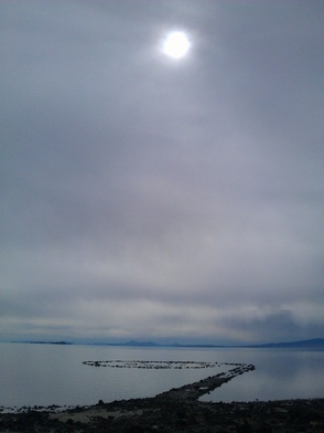
Spiral Jetty, photographed on April 14, 2013, by Brian Staker. Lake level for the day averaged 4196.25 ft., a slight increase from last fall.
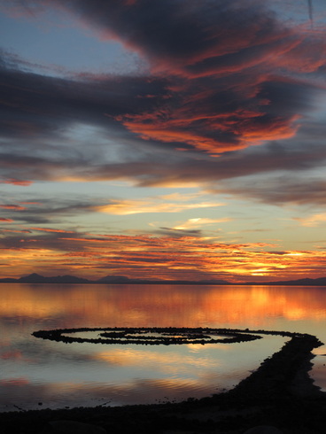
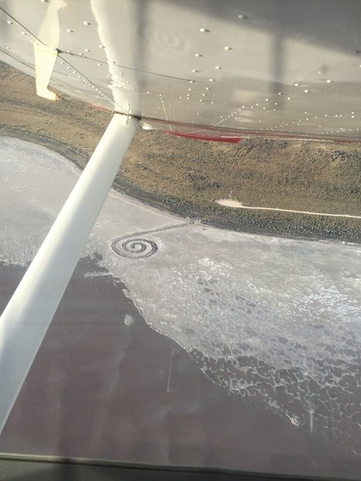
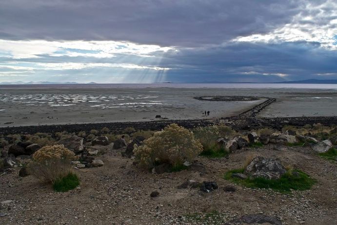
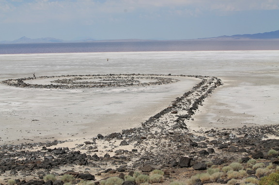
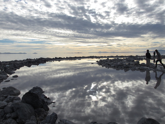
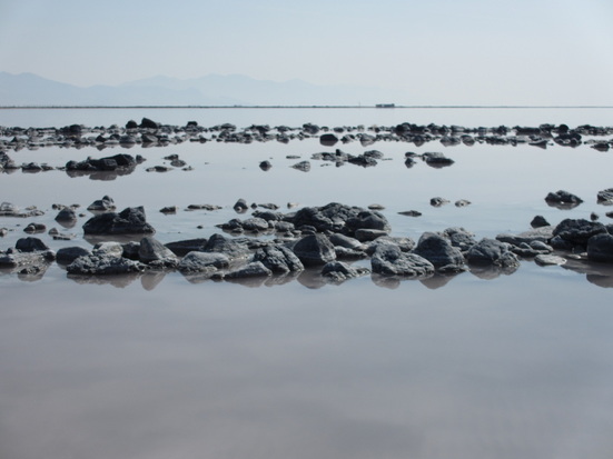
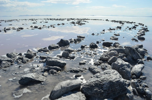
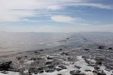
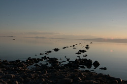
Spiral Jetty, photographed on October 19, 2012 (both photographs by Hikmet Sidney Loe). Lake level for the day was 4195.4. It is almost possible to walk the earthwork without getting wet!
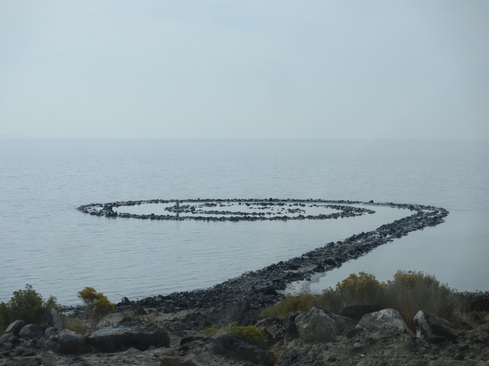
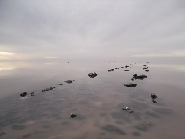
Spiral Jetty, both photographs taken by Hikmet Sidney Loe, on September 22, 2012. Lake level that day averaged 4195.7 feet. The lake continues its slow decline.
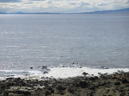
Photograph of Spiral Jetty from March 19, 2012. Elevation for the day was 4198.1, over two and a half feet above the lake level at which Spiral Jetty was built in April 1970 (4195.4 ft.). Spiral Jetty is fully submerged for the first time in a few years. Photograph by Hikmet Sidney Loe.
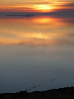
Photograph of Spiral Jetty from December 27, 2011. Lake elevation for the day was 4197. The lake has risen slightly since the fall months. Photograph by Mehmet Dogu.
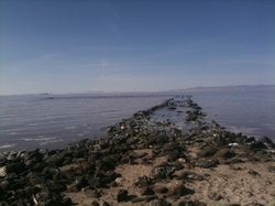
Photograph of Spiral Jetty from October 27, 2011. Lake elevation was 4196.7 that day. Photograph by Jaimi Karoline Butler.
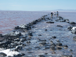
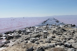
Photograph of Spiral Jetty from August 11, 2011. The small images in the water on the left are not rocks, they are the heads of people swimming. Right behind them are people standing in the water. Photograph by Jaimi Karoline Butler. Lake elevation averaged 4197.3 ft. for the day.

Two photographs of Spiral Jetty taken by Michael Slade, July 30, 2011. Michael waded through water 2-3 feet of water, beyond the Jetty, to take these photograph. Lake elevation averaged 4197.2 ft. for the day.
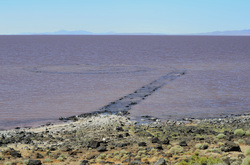
Two photographs of Spiral Jetty taken by John Cinosky, while accompanying Alicia Cuccolo on her "American Land Art Tour 2011." They were at the site on July 27, 2011, when the lake elevation averaged 4197.2 ft. for the day.
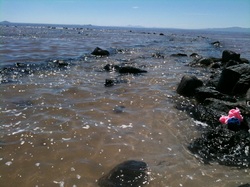
This image is from June 5, 2011. USGS lake level averaged 4196.5 ft. for the day. Spiral Jetty is almost submerged. Photograph by Jaimi Karoline Butler.
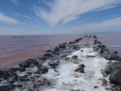
This image is from June 1, 2011. USGS lake level averaged 4196.2 ft. for the day. Spiral Jetty is on its way to being submerged. Photograph by Jaimi Karoline Butler.
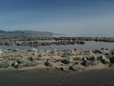
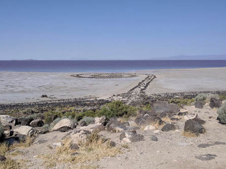
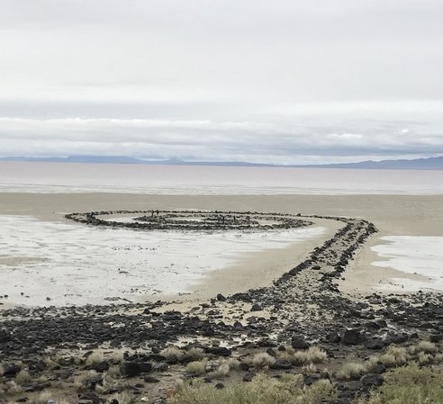
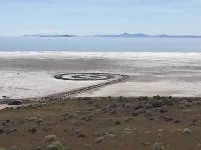
This image is from April 22, 2011. USGS lake level averaged 4195.5 ft. Spiral Jetty is dry. Photograph by Hikmet Sidney Loe.
